Drawing a site plan is a crucial step in the planning and construction process. Whether you’re an architect, engineer, home builder, or a DIY enthusiast, creating an accurate site plan ensures that your structure fits well on the plot of land. Here’s a step-by-step guide on how to draw a site plan effectively.
What is a Site Plan?
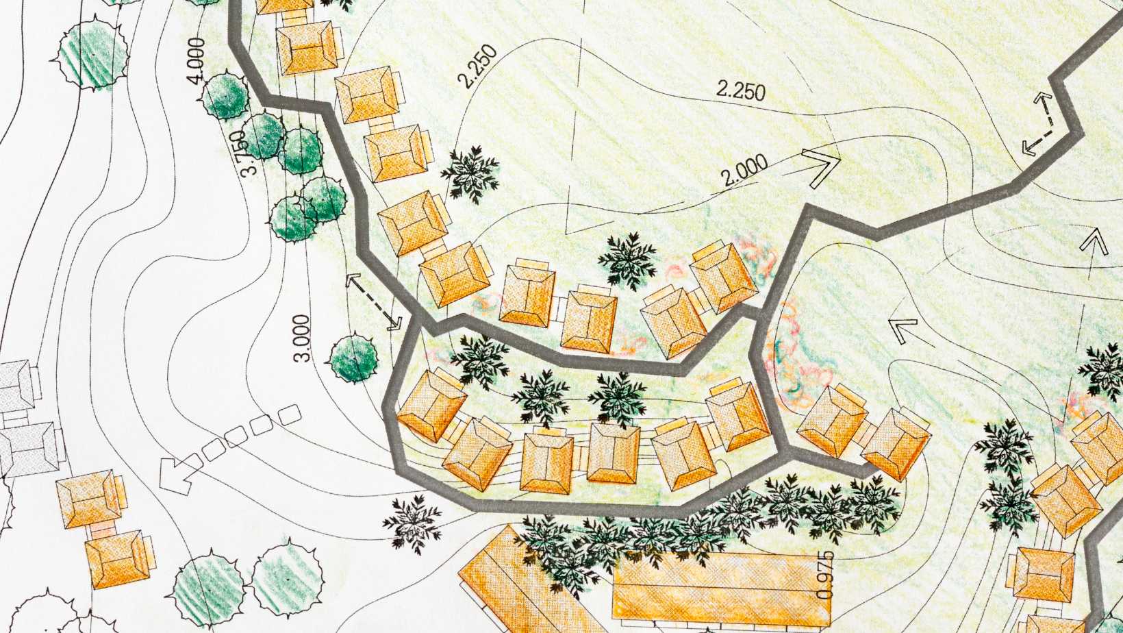
A site plan is a scaled drawing that represents the layout of a property, including buildings, landscaping, pathways, utilities, and other features. It serves as a blueprint for the construction or development process, providing a clear visual representation of how the space will be utilized.
Why is a Site Plan Important?
Site plans are crucial for several reasons:
- Regulatory Compliance: Many local governments require site plans for building permits.
- Project Planning: Helps visualize the project and identify potential issues.
- Communication: Facilitates communication between architects, builders, and clients.
According to a 2022 survey by Cornerstone Projects, 31.4% of construction delays are attributed to poor planning and unrealistic scheduling, highlighting the importance of thorough and accurate site planning. A well-drawn site plan can significantly reduce these risks by providing a clear and detailed roadmap for your project.

Key Elements of a Site Plan
Regardless of the type of site plan, certain key elements must be included:
- Property Boundaries: Clearly mark the dimensions of the property lines.
- Existing Structures: Include the measurements of any existing buildings, pools, or other significant features.
- New Construction: Detail the dimensions and height of the proposed construction.
- Distances: Indicate the distances between structures and property boundaries.
- Open Spaces: Show any private open spaces, trees, and landscaping.
- Contour Lines: Represent the lay of the land, useful for site works and cost calculations.
- Surrounding Roads: Include road names or descriptions for context.
- Additional Features: North indicator and scale of measurement.
Steps to Create a Site Plan
1. Gather Existing Documentation
Start by collecting existing site plans or property titles which include necessary dimensions and features like floor plans, setbacks, and orientation. If unavailable, obtain a plan of subdivision from the local council.
2. Draw the Basic Layout
Use graph paper or site plan software for accuracy. Begin by drawing the property boundaries to scale, referencing any existing documentation to ensure accuracy.
3. Include Utilities and Key Features
Mark the location of above and underground utilities, such as water lines, septic tanks, wells, and sewer lines. Document any proposed changes.
4. Detail Landscape and Environmental Features
Include significant landscape features and contour lines to represent the slope and elevation of the land, especially if the project involves extensive site work.
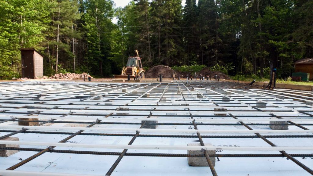
5. Add Proposed Construction Details
Sketch the proposed construction or additions, including dimensions and height. Use a different color to differentiate between existing structures and proposed changes.
6. Traffic Management
Show adjacent streets, parking lots, and traffic flow. Indicate access routes and the impact on surrounding traffic.
7. Mark Fire Hydrants and Gas Services
Identify the nearest fire hydrants and existing gas lines. Note that proposing new gas lines usually requires professional input.
Tools and Software for Drawing Site Plans
Using the right tools can significantly improve the accuracy and efficiency of drawing a site plan. Here are some recommended options:
- Presite.com: Ideal for personal projects and sales teams of new home-building companies. Simple and easy to use.
- AutoCAD: Widely used for its precision and range of features.
- SketchUp: User-friendly with 3D modeling capabilities.
- Revit: Ideal for more complex architectural designs and detailed documentation.
Tips for Accurate Site Plans
- Accuracy: Use precise measurements and clear drawings based on valid data.
- Scale: Adopt a consistent scale, and check local requirements for specific scale mandates.
- Consult Local Authorities: Before starting, check local regulations and requirements to ensure compliance with building permits, planning applications, and other legal considerations.
Conclusion
Creating a site plan is an essential part of the construction planning process. By following these steps and ensuring all required elements are included, you can produce a detailed and accurate site plan. For complex projects, consider using professional site plan software to streamline the process.
Bonus Pro Tip
Always consult local counties or council requirements before commencing your site plan to ensure it meets all necessary submission standards and regulatory obligations. This includes considering building codes, permit requirements, noise restrictions, traffic management, and tree protection zones during construction.
By adhering to these guidelines, you can create a comprehensive and compliant site plan that supports the success of your construction project.